About this ebook
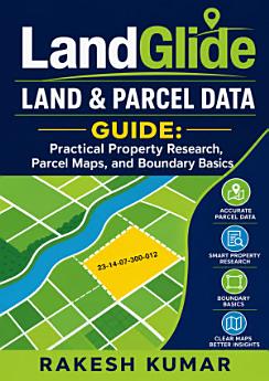
LandGlide Land & Parcel Data Guide: Practical Property Research, Parcel Maps, and Boundary Basics is a clear, practical introduction to researching land and property information with digital parcel data. Whether you are a homeowner, buyer, investor, real estate professional, researcher, or curious landowner, this guide helps you understand how to locate parcels, read parcel maps, evaluate property details, and organize findings for smarter decisions. Discover practical approaches to property research, including parcel identification, ownership information, acreage, addresses, tax-related details, map layers, and boundary references. The book explains how to use land and parcel data tools effectively, interpret common mapping features, compare neighboring properties, and recognize the limitations of online records. It also introduces essential boundary basics so readers can distinguish between informational parcel lines, legal descriptions, surveys, easements, and other details that may require confirmation from official county records or a licensed professional. Designed for beginners and everyday users, this LandGlide guide emphasizes efficient workflows, careful verification, and responsible use of public property information. Step-by-step concepts and practical examples make it easier to move from a general location to organized, useful property research. Use this handbook as a starting point for land ownership research, parcel mapping, real estate due diligence, rural property exploration, and understanding property boundaries. Build confidence with parcel maps, land records, and location-based property research—while learning when additional official documentation or professional advice is necessary.
LandGlide Land & Parcel Data Guide: Practical Property Research, Parcel Maps, and Boundary Basics is a clear, practical introduction to researching land and property information with digital parcel data. Whether you are a homeowner, buyer, investor, real estate professional, researcher, or curiou...
Discover more
About the author
Rakesh Kumar writes practical, accessible guides that help readers use digital tools and public information for informed property research. His work focuses on land and parcel data, parcel maps, location-based research, and the fundamentals of understanding property boundaries. Through clear explanations and useful workflows, he helps homeowners, buyers, investors, and real estate professionals navigate property information with greater confidence. His guides emphasize careful verification and responsible interpretation of online land records.
Rakesh Kumar writes practical, accessible guides that help readers use digital tools and public information for informed property research. His work focuses on land and parcel data, parcel maps, location-based research, and the fundamentals of understanding property boundaries. Through clear expl...
Rate this ebook
Tell us what you think.
Reading information
Smartphones and tablets
Install the Google Play Books app for Android and iPad/iPhone. It syncs automatically with your account and allows you to read online or offline wherever you are.
Laptops and computers
You can listen to audiobooks purchased on Google Play using your computer's web browser.
eReaders and other devices
To read on e-ink devices like Kobo eReaders, you'll need to download a file and transfer it to your device. Follow the detailed Help Center instructions to transfer the files to supported eReaders.