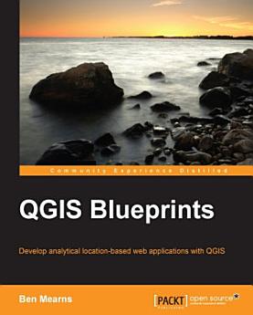
QGIS Blueprints: Develop analytical location-based web applications with QGIS
About this ebook
- Review geographic information principles and the application of these principles in the QGIS free/open source ecosystem
- Perform advanced analysis with site selection, hydrologic, and topological networks
- Build performant web applications by tile caching and generating static assets
- Provide collaborative editing capabilities for your team or community
- Develop custom and dynamic analysis and visualization capabilities
- Select the best components from desktop and web, for your use case
- Integrate it with social media and crowdsourcing
This book encompasses relatively experienced GIS developers who have a strong grounding in the fundamentals of GIS development. They will have used QGIS before, but are looking to understand how to develop more complex, layered map applications that expose various data sets, utilize different visualizations, and are consumable (usable) by end users
Discover more
About the author
Ben Mearns was previously the Lead Geospatial Information Consultant at the University of Delaware, where he was the senior GIS professional charged with leading, developing, and advising on GIS solutions. He developed the GeoServer-based campus mapping system. He has held GIS and data positions at the University of Pennsylvania Cartographic Modeling Lab, Princeton University Department of Sociology, and Macalester College Department of Geography.