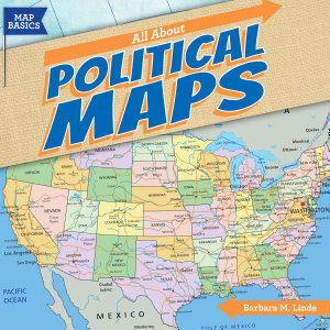
All About Political Maps
des. del 2018 · Gareth Stevens Publishing LLLP
star
1 ressenya
Llibre electrònic
24
Pàgines
Sobre aquest llibre
Which state is south of Maryland and north of North Carolina? How many states border California? How many countries are there in South America? As students read this book, they'll gain a better understanding of the locations of countries of the world. Using a map legend, they'll identify state and country capitals and other cities. They'll see how various landforms create natural borders. After comparing political maps of the United States at different times, students will be able to explain how the country grew. An activity concludes the book to help readers apply what they've learned.
Which state is south of Maryland and north of North Carolina? How many states border California? How many countries are there in South America? As students read this book, they'll gain a better understanding of the locations of countries of the world. Using a map legend, they'll identify state an...
Descobreix-ne més
Puntuacions i ressenyes
1 ressenya
Puntua aquest llibre electrònic
Dona'ns la teva opinió.
Informació de lectura
Telèfons intel·ligents i tauletes
Instal·la l'aplicació Google Play Llibres per a Android i per a iPad i iPhone. Aquesta aplicació se sincronitza automàticament amb el compte i et permet llegir llibres en línia o sense connexió a qualsevol lloc.
Ordinadors portàtils i ordinadors de taula
Pots escoltar els audiollibres que has comprat a Google Play amb el navegador web de l'ordinador.
Lectors de llibres electrònics i altres dispositius
Per llegir en dispositius de tinta electrònica, com ara lectors de llibres electrònics Kobo, hauràs de baixar un fitxer i transferir-lo al dispositiu. Segueix les instruccions detallades del Centre d'ajuda per transferir els fitxers a lectors de llibres electrònics compatibles.